
Le Ray Postal Coverage
The available evidence supports postal leads, not a complete townwide ZIP map. The Town Hall address verifies Evans Mills 13637 for that one address. Calcium, Fort Drum, Watertown, and Black River are meaningful geography or postal clues, but the research did not retrieve exact street coverage, post-office assignment, or ZIP polygons for all Town of Le Ray addresses. The table keeps that uncertainty visible. Use the full address in USPS before treating any listed ZIP as current.
| ZIP | Area clue | Post office status | Research note |
|---|---|---|---|
| 13637 | Evans Mills; Town Hall address | Evans Mills postal label | Verified for Town Hall only, not every Le Ray street |
| 13616 | Calcium | Not separately verified | Postal lead; exact street coverage was not retrieved |
| 13602 / 13603 | Fort Drum / Camp Drum | Installation routing may differ | Verify the specific unit, organization, or street address |
| 13601 | Watertown-area lead | Not separately verified | Nearby postal city can cross civil boundaries |
| 13612 | Black River area | Not separately verified | Provisional lead; verify the address through USPS and GIS |
Philadelphia 13673 and Theresa 13691 are adjacent-area postal labels, not established Town of Le Ray ZIPs. They should be excluded from a local address result unless USPS returns them for that exact address. No ZIP split, realignment year, ZIP-wide population figure, or official townwide registration table was located, so none is supplied here.
Why Le Ray ZIPs Differ
The phrase "Le Ray ZIP code" can mislead because it suggests a single boundary around the town. Town of Le Ray includes Evans Mills, Calcium, Le Raysville, the Black River edge, and the Fort Drum area, each of which can be a distinct address or postal clue. The Town's Fort Drum setting adds another reason to check an address at the street or unit level. A civilian town record, a military delivery label, and a county parcel can refer to overlapping geography without identifying the same jurisdiction or record holder.
Use three sources for three different questions: USPS validates the postal delivery label, Jefferson County GIS checks the municipal and map setting, and the county parcel system checks tax-map context. This is the central limit of postal searching here. Postal city does not decide town jurisdiction, and a map boundary does not verify mail delivery.
Note: Preserve the returned postal city and lookup date because postal information can change after an earlier record was created.
Validate Le Ray Postal Codes
The official USPS ZIP Lookup Tool is the first access channel for a current mail question. It offers an address mode, a City and State mode, and a Cities by ZIP mode. For a Town of Le Ray address, the address mode is the most specific starting point. Retain the address as entered, the postal result, and the date checked. USPS warns that its lookup does not confirm a person or company at an address and cannot guarantee an actual business location.
- Enter the street address, city, and state in the USPS address mode. Add the apartment or suite only when it is part of the known mailing address.
- Record the returned postal city and ZIP exactly as displayed, including any ZIP+4 when USPS supplies it.
- Open the county GIS viewer and identify the parcel or municipal setting for the same address.
- Use the county parcel lookup by address to capture the tax-map number and situs context.
- When a postal and civil label differ, keep both rather than forcing either one to stand for the other.
Once a ZIP has narrowed the general area, the Town of Le Ray street directory has the address-keyed parcel, deed, GIS, and historical-directory workflow. The ZIP alone does not supply a list of current residents.
Le Ray ZIP Lookup Fields
USPS field details were captured during research, so this Town of Le Ray postal reference can describe the tool without assuming a hidden ZIP boundary. Address mode requires a street address, city, and state. The company and apartment fields are optional, and ZIP is optional in address mode. The alternative City and State search needs both fields, while Cities by ZIP requires the ZIP itself.
| USPS mode | Fields documented | Practical result |
|---|---|---|
| By Address | Street Address, City, State required; Company, Apt/Suite/Other, ZIP optional | Validates the postal label for one complete address |
| City and State | City and State required | Supplies a broader postal query, not parcel confirmation |
| Cities by ZIP | ZIP required | Returns postal city information for the entered ZIP |
ZIP+4 is a more precise postal delivery code attached to a base ZIP. It still is not a parcel identifier. Save the USPS output separately from the county tax-map number so a later search can be reproduced without treating two different identifiers as interchangeable.
ZIP Records in Le Ray
Few local public systems documented a true ZIP-wide resident search. The New York voter lookup displays County, Last Name, First Name, Date of Birth, and ZIP Code inputs, with street or address controls present in the rendered page. It is a lawful individual registration and polling-place route, not a ZIP roster. County or statewide voter-file access has separate election-purpose requirements under New York Election Law, and protected registrations remain protected.
The county parcel portal documents address, owner-name, and tax-map-number inputs rather than a ZIP filter. Use it after USPS and GIS have localized an address, not as a claim that every parcel in a ZIP can be listed. The County Clerk's land records, planning files, and Town Clerk records are also held by custodian and record type, not by a universal postal area. Each needs an address, parcel, date range, or narrow record description.
Note: A ZIP is a useful search field where an official form accepts it, but it never replaces the required identifying inputs or legal limits.
Le Ray ZIP and Parcel Context
The Jefferson County GIS and property-search gateway is the county route for testing a postal result against parcel geography. The viewer's documented layers include aerial imagery, agricultural districts, existing land use, zoning, school and election information, flood data, and related planning layers. Use the parcel boundary and municipal context to check what a street address belongs to. Do not use the map to infer who lives at the address.
After GIS identifies the parcel, the SDG tax portal can be searched by address, owner name, or tax-map number. That portal may show the owner field, tax-map context, tax information, bills or payment status, RPS data, tax maps, and property images. The owner field is a property relationship, not a residency finding. Its live card controls and exact results were not fully exposed during research, so they are not presented as fixed.
The official county GIS and parcel gateway appears in the source image page.
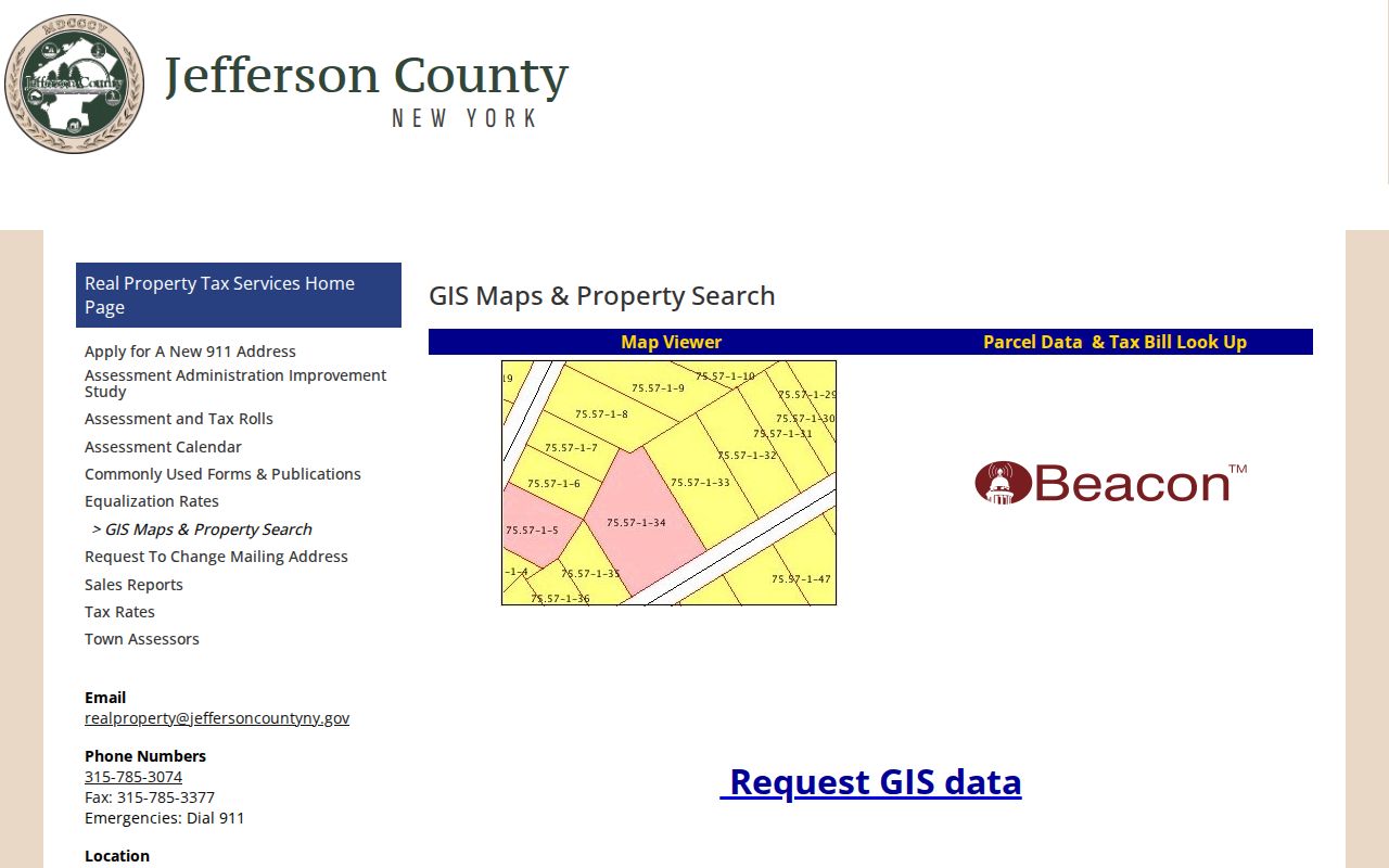
The county gateway is useful after a ZIP check because it separates postal routing from parcel and town geography.
Fort Drum Postal Distinctions
Fort Drum is a defining Town of Le Ray geographic context, but it should not be folded into a single townwide postal assumption. The research identifies 13602 and 13603 as provisional Fort Drum or Camp Drum leads and says installation routing can differ from ordinary civil addresses. Check the specific unit, organization, or street address through USPS or the relevant delivery authority. A local tax parcel, town permit, or postal result describes civil or delivery geography, not military personnel status.
That distinction also matters for historic records. A preserved postal label can help locate an old document, but a current postal lookup cannot rewrite the address printed on an earlier record. Keep original wording, record date, and source citation beside any normalized current address.
Le Ray FOIL Records by Address
When the needed local record is not in a postal or parcel tool, request it from the custodian. The Le Ray Town Clerk is the local records access route for town-held material. A focused request should state the agency, precise record type, date range, person, entity, address, or parcel, preferred electronic format, and willingness to inspect. Ask for a written reason for any withholding or redaction. Town records can include minutes, resolutions, tax-collection material, water or sewer records, zoning and planning material, assessment records, and records-access logs.
County and state channels differ. County Clerk and Records Management have their own search forms and fees. Elections has a voter-file form and election-purpose certification. GIS has a parcel or data request channel. Under New York FOIL, a reasonably described request must be granted, denied, or acknowledged within five business days, with an approximate response date if more time is needed. Privacy exemptions still apply, and a FOIL response does not create a right to republish protected personal information.
Limits of Le Ray ZIP Codes
Town of Le Ray ZIP code results answer a mail-routing question. They do not confirm that someone lives at an address, establish municipal jurisdiction, identify every parcel in a ZIP, or prove a current relationship to a property. The research found no official full ZIP assignment for every Le Ray street, Fort Drum unit, PO Box, or neighboring postal city. Treat a no-result or mismatch as a reason to verify through the address, county GIS, parcel record, or proper custodian.
- ZIP Code
- The base postal routing code used to direct mail to an area or delivery system.
- ZIP+4
- An added postal delivery segment that can refine mail routing for a particular address or delivery point.
- PO Box ZIP
- A ZIP associated with post-office box delivery, which may differ from the parcel's street-address ZIP.
- Unique ZIP
- A ZIP used for a single institution or delivery arrangement. No Town of Le Ray example was verified in the research.
- Carrier route
- A postal delivery grouping used by mail operations, not a town boundary or resident list.
Privacy limit. Use ZIP and address records for lawful personal, family-history, property, or civic research. Never use a postal clue to stalk, harass, intimidate, or expose anyone.